Cape Leveque Day Tours From Broome: What To Book
Cape Leveque sits about 220 km north of Broome at the tip of the Dampier Peninsula, and the road in is now fully sealed. Here is what that means for choosing between a day tour and driving, including the one part of the cape you cannot visit at all.
Short answer
The Broome to Cape Leveque road is about 220 km and fully sealed, with a turn-off about 9.5 km from the Visitor Centre, but unsealed access roads need a 4WD. No Cape Leveque day tour product appears in the roster, so this guide covers the road facts, the Kooljaman access restriction, and a tour-versus-driving checklist.
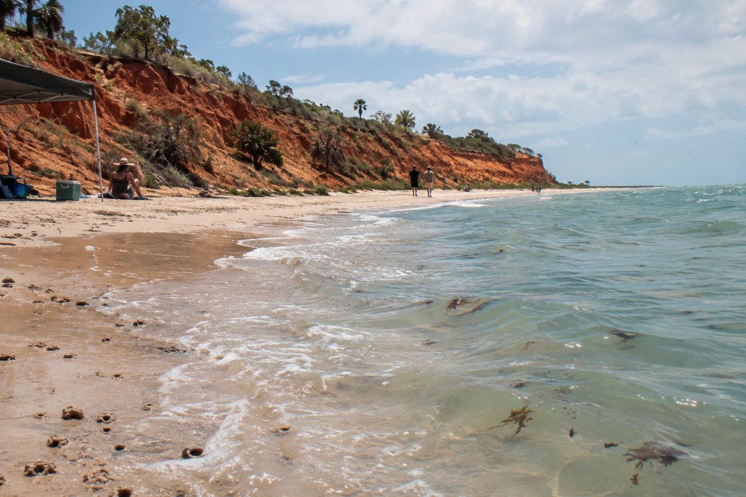
The Dampier Peninsula is the long finger of red country that runs north of Broome, and Cape Leveque is its tip: pindan cliffs, clear water and a set of remote communities that live very differently from town. For years the catch was the road. That has changed in one specific way, because the Broome to Cape Leveque road is now fully sealed for its roughly 220 km length, while the access roads branching off it towards the coast are not. That single fact reshapes the tour-versus-driving decision, and it is only one of several things a first-time visitor usually gets wrong.
The roster includes no Cape Leveque or Dampier Peninsula day tour, and this guide will not pretend otherwise. What it can do honestly is set out the road and access facts, flag the part of the cape you cannot legally visit, walk through the stops a Peninsula day actually contains, and give you a working checklist for deciding between a guided day and a self-drive. Where a Broome-based alternative fits, it will say so with real figures. Everything road-related below comes from Visit Broome's Dampier Peninsula page and the Shire of Broome.
Is A Cape Leveque Day Tour From Broome Worth It?
Yes, if your Broome stay is short, you do not want to drive roughly 220 km each way on remote roads, and you want the stops interpreted rather than just reached. The value of a tour here is not the driving, it is the access and context: community protocols, pearl farm stories and coast you would otherwise scroll past. If you have two or more spare days and a suitable vehicle, driving yourself costs less and buys flexibility.
The honest starting point is distance. Cape Leveque is about 220 km each way from Broome by road, so even on a fully sealed road you are signing up for a big day with several hours behind the wheel if you drive. A tour converts that windshield time into commentary and removes the planning load: which communities are open, where fuel and food are, and what the entry arrangements are at each stop. On a three or four night Broome stay, that trade often makes sense.
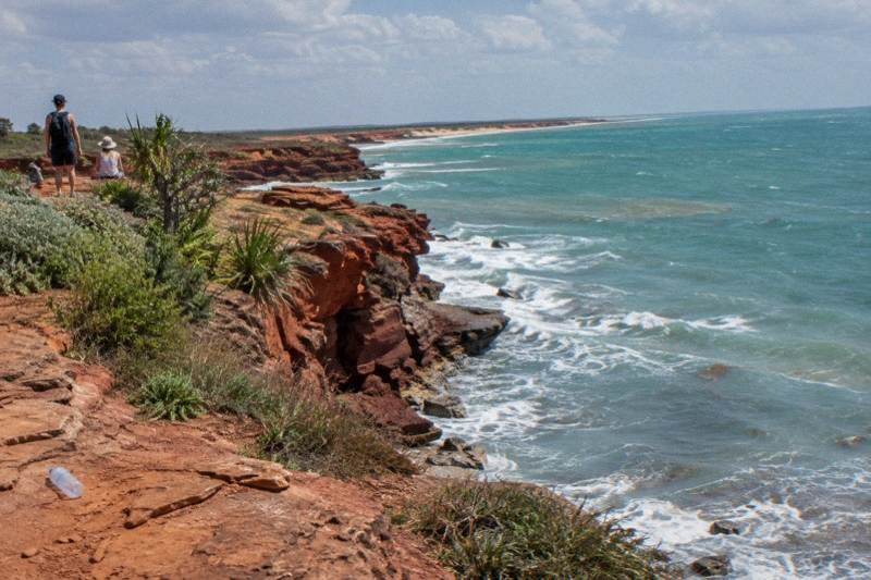
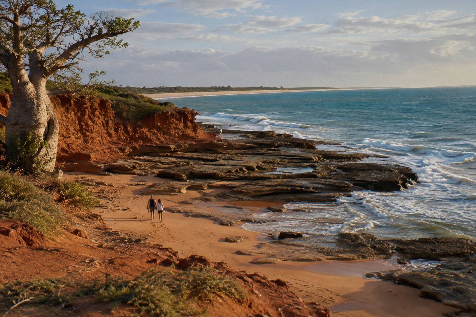
Worth is also about what you expect at the end of the road. The cape's appeal is landscape and living culture, not a resort strip. The northern tip, where the famous Kooljaman settlement sat, is closed to visitors entirely, a point covered in full later in this guide because it surprises a lot of people. Set your expectations on red cliffs, water views and pearl country and the day delivers; arrive expecting a developed tourist hub and it will not.
Budget shapes the call too. No Peninsula day tour price appears in the roster, so treat any figure you see elsewhere as a per-person ask, and check whether it covers the Beagle Bay community entry fee. For scale, Broome-based day touring runs from the Pearl Luggers Tour at from US$25.51 per person through to the Horizontal Falls half day at from US$1,096 per person, with most half and full day trips clustered between roughly US$64 and US$172, prices in US dollars per person.
How Far Is Cape Leveque From Broome, And What Is The Road Like?
The Broome to Cape Leveque road is about 220 km and fully sealed, with the turn-off about 9.5 km from the Broome Visitor Centre. A 4WD is recommended for the unsealed access roads off the highway, and the Middle Lagoon road is 33 km of 4WD-only. Fuel, phone coverage and services are thin, so a self-drive day needs planning a sealed-road commuter never demands.
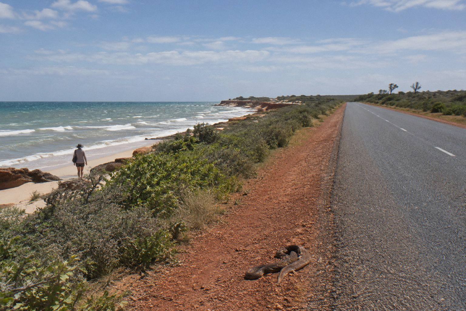
The headline change is the sealing. For decades the trip was a genuine 4WD expedition, and older blog posts still describe it that way. The current Visit Broome guidance is that the main road is fully sealed for its full length, which puts Cape Leveque within reach of a conventional rental car for the drive itself. The catch sits at either end of your actual destination: the side roads down to many coastal spots remain unsealed, sandy or corrugated, and a 4WD is recommended for them. The Middle Lagoon road, 33 km long, is 4WD only, full stop.
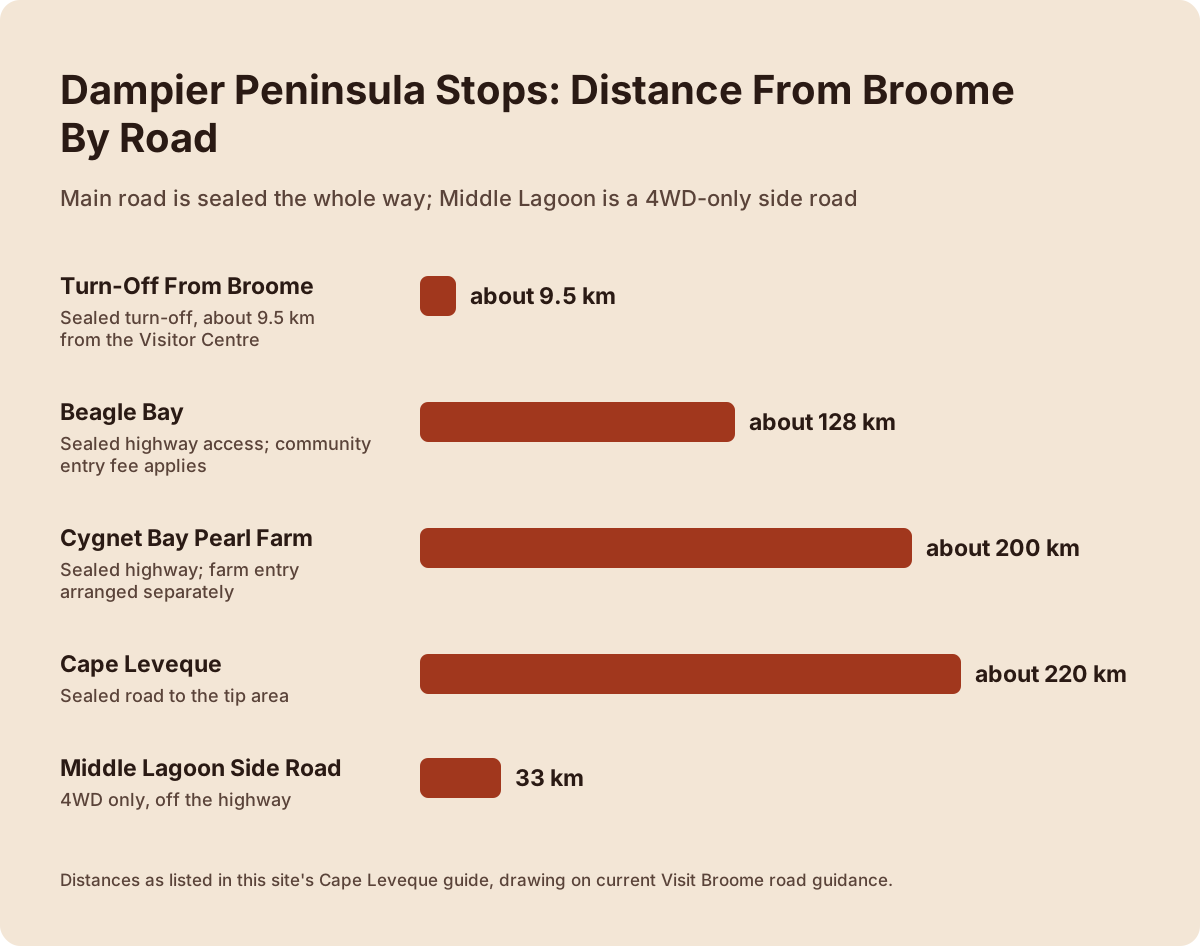
Here is the distance picture in one view:
| Point on the Peninsula | Distance from Broome | Road status |
|---|---|---|
| Turn-off from Broome | about 9.5 km from the Visitor Centre | sealed |
| Beagle Bay | about 128 km | sealed highway access |
| Cygnet Bay Pearl Farm | about 200 km | sealed highway, farm entry separately arranged |
| Cape Leveque | about 220 km | sealed road to the tip area |
| Middle Lagoon | 33 km side road off the highway | 4WD only |
| Various coastal access roads | varies | unsealed, 4WD recommended |
Distance is not the only planning number. Shire of Broome condition reports cover Manari Road and Willie Creek Road further south, and the same logic applies up north: conditions change, and a road that was passable last week may not be after rain. The official advice to check current conditions before departure is not boilerplate here, it is the difference between a long day and a stranded one. Carry water, tell someone your route, and do not assume mobile coverage along the Peninsula.
Should You Take A Cape Leveque Tour Or Drive Yourself?
Drive yourself if you have a suitable vehicle, at least a full spare day either side for contingencies, and you are comfortable on remote roads with limited services. Take a tour if you are on a short stay, want community and pearl-farm context explained, or would rather not shoulder the fatigue of a roughly 220 km drive each way plus unsealed side roads. Both are legitimate; the wrong answer is arriving unprepared.
The comparison comes down to a handful of honest trade-offs:
| Factor | Guided day tour | Self-drive |
|---|---|---|
| Driving | None; the operator covers the Peninsula roads | All of it, plus unsealed access roads |
| Vehicle requirement | None | 4WD recommended; Middle Lagoon needs 4WD |
| Community protocols and fees | Handled or explained by the guide | You arrange and pay entry yourself |
| Flexibility to linger | Low; fixed itinerary | High, within daylight and fuel limits |
| Context and interpretation | Included at each stop | Whatever you research in advance |
| Cost structure | One per-person price | Vehicle hire, fuel, entry fees, food |
| Contingency if plans change | Operator's problem | Your problem |
The fatigue factor deserves more weight than maps suggest. A Cape Leveque day from Broome means leaving early, arriving home after dark, and long empty stretches in between where a breakdown is an event rather than an inconvenience. Travelers who have done both often say the scenery made the drive worthwhile and the drive made them wish they had been a passenger. If that sentence describes you, lean tour.
The protocol factor matters just as much. The Peninsula is a string of Aboriginal communities, not a public park. Beagle Bay charges a community entry fee, with children under 10 free, and the amount can vary. Some areas are simply not open. A good tour operator carries those relationships; a self-driver has to get them right alone, and getting them wrong is disrespectful at minimum.
If the practical answer is that a Peninsula day does not fit your dates, your budget or your driving comfort, there is a respectable third option: swap the road day for a coast day that leaves from Broome itself. That question of whether a Cape Leveque road trip suits your vehicle and schedule is worth settling before you book anything else on your itinerary.
Why You Cannot Visit Kooljaman Or The Northern Tip
The northern tip of Cape Leveque, including the Kooljaman site and its 4 km access road, is not accessible to visitors: it is private Native Title land, and Visit Broome states this plainly. No tour and no vehicle gets you there. Plan your day around the accessible coastline and communities, and treat any listing that promises Kooljaman access as out of date.
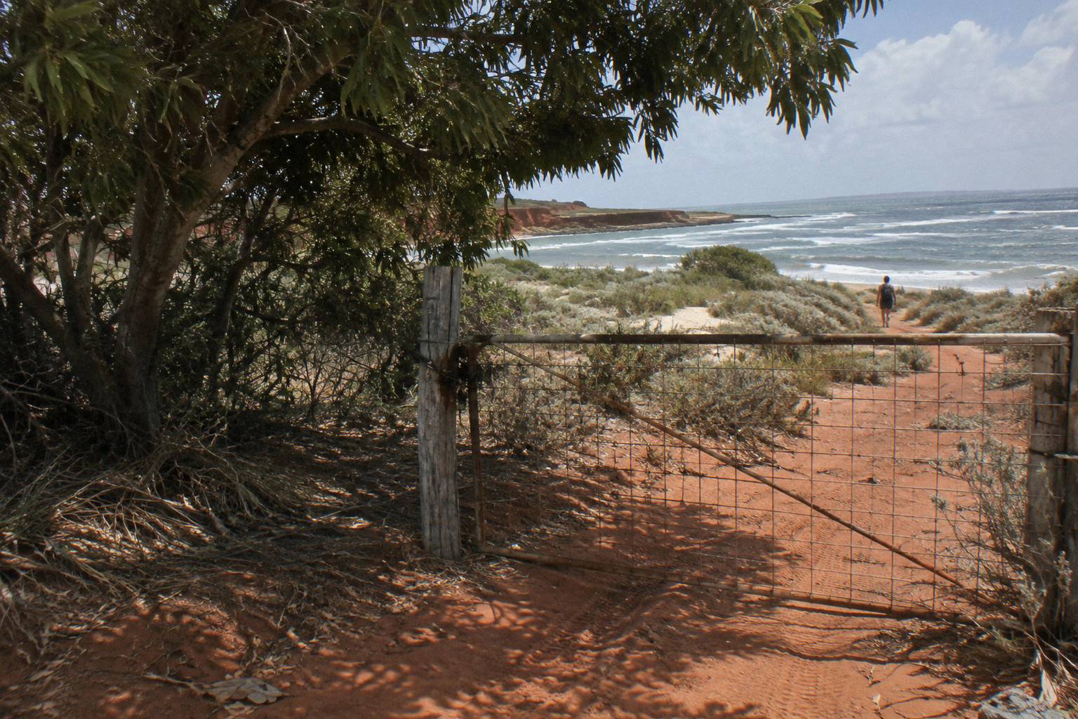
This is the single most important fact on the page, because Kooljaman was for decades the Peninsula's headline destination, a wilderness camp on the cape's tip that appeared in every brochure. Older articles, and unfortunately some current ones, still describe visiting it. The current official position, stated by Visit Broome with a page image noting road access closed, is that only the northern tip is off limits to visitors, that is where Kooljaman is located, and that the 4 km access road onto it is private Native Title land.
What that means practically is a boundary line near the tip. You can reach the Cape Leveque area by the sealed road, and the accessible coast and communities around it are genuinely worth the drive. You cannot continue onto Kooljaman itself. When comparing tour itineraries, check what each one actually names as its destinations: any brochure listing Kooljaman as a stop is either describing a viewpoint short of it or was written before the closure.
There is a respectful framing here too. This is not a temporary inconvenience, it is a community decision about its own land, and the response that travels well is to plan around it rather than look for gaps in it. The Peninsula's open stops, from Beagle Bay's church to Cygnet Bay's pearl farm operations, carry plenty of the day on their own.
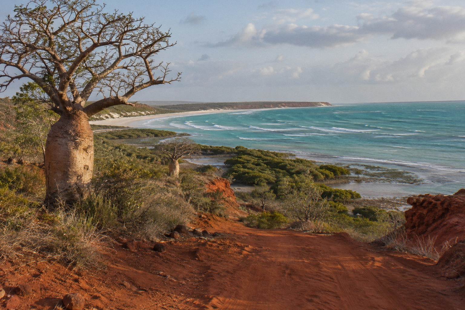
What Stops Fill A Dampier Peninsula Day: Beagle Bay And Cygnet Bay
Beagle Bay, about 128 km north, is known for the Sacred Heart Church and its mother-of-pearl altar, with a community entry fee applying and under 10s free. Cygnet Bay Pearl Farm, about 200 km north, is a working pearl farm with its own tours. Together they anchor most Peninsula itineraries, with the accessible Cape Leveque coast as the landscape highlight.
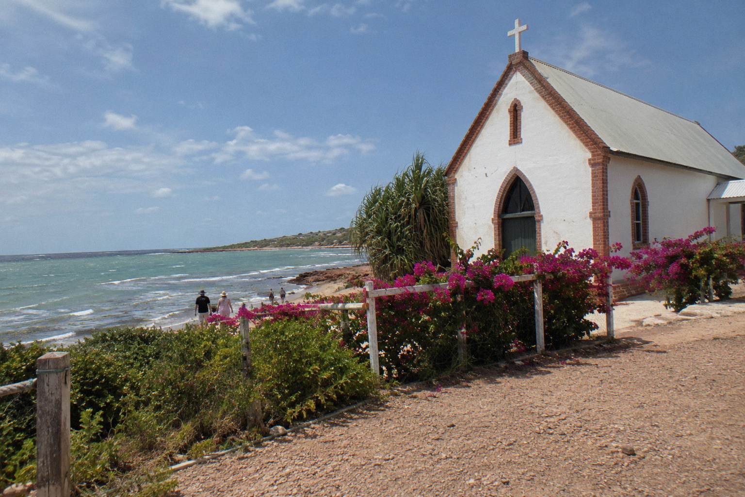
Beagle Bay is usually the first stop north, and the church is the reason. The Sacred Heart Church is inseparable from the Peninsula's pearling economy and mission history, and its altar and interior shimmer with mother-of-pearl shell, a direct material link between the two stories. Photography is generally welcomed, but it is an active church in a living community: modest dress and normal courtesy apply. The community entry fee is paid on arrival, with children under 10 free.
Cygnet Bay, about 200 km from Broome, is the operational heart of Australian pearling on the Peninsula, and the farm runs its own tour products with Borrgoron cultural tours alongside. Pearl coverage at Broome Town Tours stays focused on Broome itself, so for the farm-versus-farm question read the comparison in the guide to choosing between Broome pearl farm tours, which sets out the Willie Creek and Cygnet Bay options side by side. The short version: Cygnet Bay pairs the pearl story with a Peninsula day trip naturally, Willie Creek is the closer half-day option from town.
Between and beyond those two, the day is stitched together from smaller stops: lookouts over the Buccaneer Archipelago's tides, community-run cafés where they exist, and stretches of red coast that justify the drive on their own. Tour itineraries differ mainly in how many of these they string together and how long they linger, which is exactly what you should compare when reading one against another.
| Stop | Approximate distance from Broome | What it offers | Access notes |
|---|---|---|---|
| Beagle Bay | 128 km | Sacred Heart Church, mother-of-pearl altar | Community entry fee, under 10 free |
| Cygnet Bay Pearl Farm | 200 km | Working pearl farm tours, cultural tours | Book farm tours separately |
| Cape Leveque accessible coast | 220 km | Pindan cliffs, water views | Sealed road; tip closed, private land |
| Middle Lagoon | 33 km off the highway | Remote coastal camping area | 4WD only |
Can You Swim At Cape Leveque?
No swimming on the Dampier Peninsula is patrolled, and the official risks named are strong tides, Irukandji stingers and crocodiles. The Kimberley Coast has the biggest tides in the southern hemisphere, with a range up to around 10 metres, which changes every beach hour by hour. Treat water here as scenery first, and swim only where a local operator or community explicitly says it is safe at that moment.
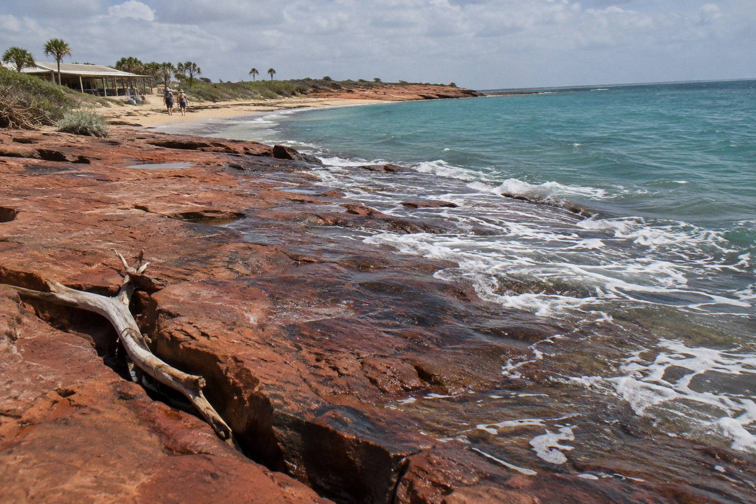
The tide point is not decorative. A ten metre range means a beach can be a swimming cove at one hour and a mudflat hundreds of metres from the water two hours later, and currents that were nothing at slack tide become serious with the turn. Visitors Broome, whose tide page carries the southern hemisphere claim, is the reference for the numbers, and it is the reason every Peninsula activity, from fishing to wreck viewing, is planned around the tide table rather than the clock: the Visit Broome tides page explains the local ranges.
Then there are the animals. Saltwater crocodiles are named as present in the region's waters, including officially at Willie Creek south of the Peninsula, and stingers of the Irukandji type are listed among the Peninsula's swimming risks. Neither is a reason to avoid the coast; both are reasons to treat unpatrolled water with the respect remote Australia demands. This is also, honestly, a point in favour of guided activities, because local operators know which spots are currently considered safe and which are not.
If a swim is a must-have for your Broome holiday, plan it for Cable Beach in town during the patrolled dry season rather than the Peninsula. Our guide to crocodiles and stingers on Broome water tours covers the same risks in the cruise context if your Peninsula day is one part of a water-heavy itinerary.
What A Good Cape Leveque Day Tour Should Include
Look for five things: named, currently accessible destinations; the Beagle Bay entry fee either included or clearly flagged; a realistic driving schedule with breaks; commentary covering community protocols and pearling history; and clear 4WD arrangements for any unsealed side stops. A tour that is vague about where it actually goes, or that still lists Kooljaman, is telling you something. Ask before you pay.
Because no Peninsula day tour appears in the roster, this checklist is the practical substitute for a recommendation. It works whether you are reading a brochure in a Broome booking office or a listing online.
| Checklist item | Why it matters | Red flag |
|---|---|---|
| Named destinations | Confirms the day matches the closures above | "Cape Leveque" with no named stops |
| Entry fees handled or itemised | Beagle Bay charges a community fee | Fee surprises on the day |
| Driving time honestly stated | The Peninsula roads are long and remote | Itinerary implying a relaxed short outing |
| Interpreter or local guide content | The Peninsula's value is its stories | Silence between stops |
| 4WD for unsealed sections | Middle Lagoon-type roads need it | Minibus promising every side stop |
| Food and water arrangements | Services are thin up there | No mention of meals or supplies |
| Cancellation and weather terms | Wet season roads and heat change plans | No refund policy stated |
One more planning note: seasons. The Peninsula is a dry season destination in practice, with the wet season bringing monsoonal weather, possible flooding and closures between roughly November and April, matching the climate pattern Visit Broome describes for the whole region. A day tour that runs in the wet months is either exceptional or optimistic; check the operator's own seasonal statement rather than assuming.
If The Peninsula Does Not Fit: Broome-Based Alternatives
If the driving day, the cost or the closure makes Cape Leveque a poor fit, three Broome departures cover similar ground in spirit: a Kimberley coast seaplane day, a Roebuck Bay coastal cruise, or a town and history morning. The seaplane trip reaches remote coast without any road at all, the cruise covers tides and prehistoric shoreline, and the town tour covers the pearling culture that made the Peninsula matter.
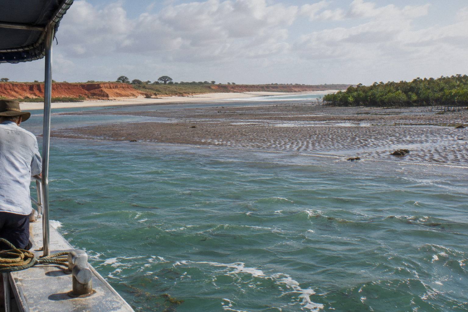
The closest thing in spirit to a Peninsula adventure is the Horizontal Falls half day run by Horizontal Falls Seaplane Adventures: from US$1,096 per person, rated 4.8 from 729 reviews, six hours with hotel pickup included, swapping the Peninsula roads for a seaplane over the Kimberley coast. Note the fine print: this tour is non-refundable and cannot be changed for any reason, there is a 120 kg per-person weight limit (your weight is asked at booking), the minimum age is 4, it is not wheelchair accessible, and it may not suit women over 26 weeks pregnant. It is a different budget bracket from a bus day, and readers weighing those specific constraints can compare options in the guide to Horizontal Falls tours from Broome.
For coast without the seaplane price, Broome Adventure Cruises runs the Scenic And Prehistoric Cruise, from US$135 per person, rated 4.9 from 215 reviews, five hours with transfers included. It works the Roebuck Bay shoreline where dinosaur trackways and wartime wrecks appear on the low tides described earlier, which scratches the same prehistoric-coast itch the Peninsula's cliffs promise.
And for the pearling story that underpins Beagle Bay and Cygnet Bay both, the Broome Town Tour, Panoramic And Discovery Morning from Broome and Around Bus Charters and Tours is the trip with the most reviews on the roster: from US$81 per person, 4.9 from 1,216 reviews, 2.5 hours with pickup included. Pair it with the Pearl Luggers Tour, from US$25.51 for about an hour and a half in Chinatown, and you have the pearling heritage without leaving town.
None of these replaces Cape Leveque, and that honesty is the point of Broome Town Tours as a site: matching the day to your dates, budget and appetite rather than pushing one product. If you are still torn between the bus and your own steering wheel, the blog post on choosing a Cape Leveque tour or a hire car works through that decision with the same road facts.
Common Questions About Cape Leveque Day Tours
How Far Is Cape Leveque From Broome?
About 220 km by road each way, with the turn-off about 9.5 km from the Broome Visitor Centre. The main road is fully sealed, but unsealed access roads off it call for a 4WD, and the Middle Lagoon road is 4WD only.
Can You Visit Kooljaman At Cape Leveque?
No. The northern tip of Cape Leveque, including Kooljaman and its 4 km access road, is private Native Title land and not accessible to visitors. Plan around the accessible coast and communities instead, and be wary of any listing that still promises Kooljaman access.
Is The Road To Cape Leveque Sealed?
The Broome to Cape Leveque road itself is fully sealed for its roughly 220 km length. The side roads to many coastal spots are unsealed and sandy, with a 4WD recommended, so your destination within the Peninsula determines the vehicle you need.
Can You Swim At Cape Leveque?
Not patrolled, and the officially named risks are strong tides, Irukandji stingers and crocodiles. Tide ranges up to around 10 metres change every beach hour by hour, so swim only where a local operator or community confirms it is safe at that moment.
Tour Or Drive: Which Is Better For Cape Leveque?
Drive if you have a suitable vehicle, spare time for contingencies and comfort with remote roads; take a tour if your stay is short, you want community protocols and pearling history explained, or you would rather not cover the roughly 220 km drive each way yourself.
What Are The Main Stops On A Dampier Peninsula Day?
Beagle Bay at about 128 km, with its mother-of-pearl altar church and a community entry fee, and Cygnet Bay Pearl Farm at about 200 km, which runs its own tours. The accessible Cape Leveque coastline at the end of the sealed road is the landscape highlight.