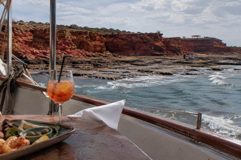
Gantheaume Point And Dinosaur Footprint Tours From Broome
Gantheaume Point holds dinosaur tracks about 120 million years old, but the tide decides whether you can reach them. Here is how the 2.16 metre rule works, what the rocks demand of you, and which tours pair with a visit.
Short answer
The theropod footprints at Gantheaume Point are reachable on foot only when the tide is below 2.16 metres, and most track locations along the coast need a tide under 2.4 metres. The tracks are early Cretaceous, about 120 million years old, and sit along roughly 80 km of Broome coastline listed on the West Kimberley National Heritage List since August 2011.
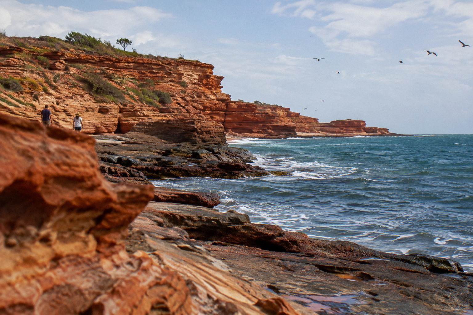
Gantheaume Point is where Broome's pearling-town gentleness ends and the Kimberley's deep time begins. The ochre cliffs at the southern end of Cable Beach carry dinosaur tracks from the early Cretaceous, about 120 million years old, spread along roughly 80 km of coast and included in the West Kimberley National Heritage List in August 2011. But the point keeps its own schedule. Twice a day the tide climbs the rocks and hides the most famous prints, and twice a day it retreats and leaves them exposed, slick and reachable to anyone willing to walk carefully.
That rhythm shapes everything on this page. This guide explains the tide threshold that governs access, what the walk over the rocks actually involves, how to read a Broome tide table without guessing, and which tours from town fit sensibly around a low-tide visit. All prices are booking-page from-prices per person in US dollars.
What Is Gantheaume Point?
Gantheaume Point is a headland of red pindan rock at the southern end of Cable Beach, about ten minutes' drive from Broome's Chinatown, where cliffs of early Cretaceous age carry dinosaur tracks along about 80 km of coastline. The tracks were included in the West Kimberley National Heritage List in August 2011, which recognises the site's national significance rather than fencing it off. The point itself is free to visit and has no lifeguards on patrol.
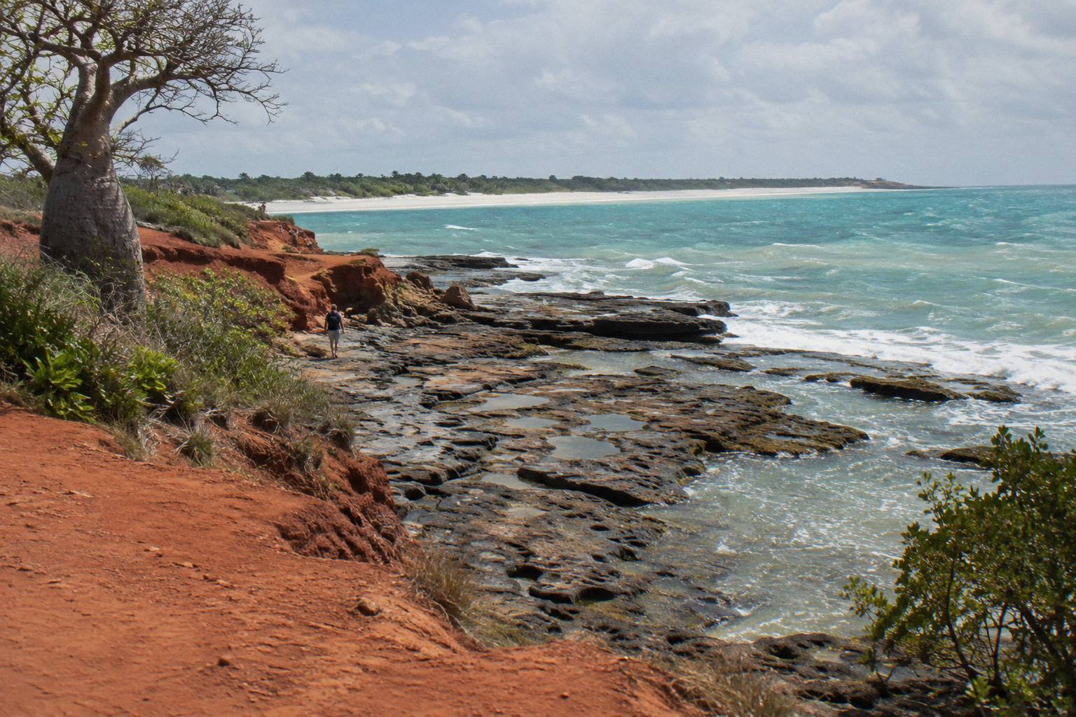
The rocks here are not a museum behind glass. They are a working shoreline, lapped by the same tides that give the Kimberley Coast the biggest tidal range in the southern hemisphere, with the difference between high and low tide reaching up to around 10 metres, in Visit Broome's wording. When the water is out, the reef platform below the cliffs becomes a walkable shelf of rock pools, exposed coral and, at the right spots, theropod footprints pressed into stone when dinosaurs walked a muddy river plain in a world before grass, before ice at the poles, and long before anyone kept records.
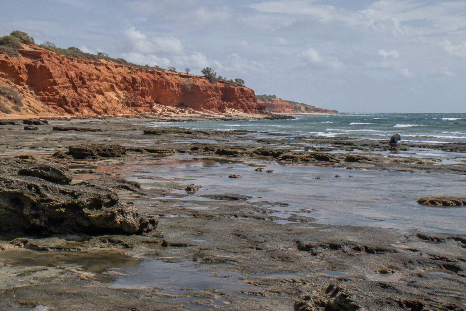
For travellers, the point works as a half-hour stop or a two-hour expedition depending on the tide. At high water you get cliffs, surf and the long curve of Cable Beach to the north. At a low tide under 2.16 metres you get the walk out to the theropod tracks, which is the reason most people come. Traditional Owners ask that visitors stay on designated paths, a request that protects both the tracks and the people walking over them.
The headland rewards a slower look even when the tide is wrong. The pindan cliffs glow deepest in the half hour before sunset, when the low western light turns the rock from rust to vermilion, and the ocean horizon runs unbroken to the north-west. Photographers and painters work this stretch of coast in numbers for exactly that reason. There is a car park near the point, a short cliff-top track, and enough flat ground above the platform to make the visit worthwhile at any hour, even on a day when the footprints stay under water.
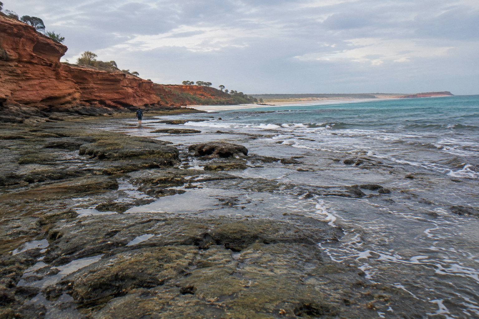
The point also anchors one end of Cable Beach's 22 km of white sand. Walkers who head north from the rocks along the sand get the beach almost to themselves within twenty minutes in the middle hours of the day, before the sunset crowd arrives and the camel trains come past. Between the cliff tops, the reef platform and the sand, a single visit can hold three quite different landscapes inside one small headland, and the tide decides which of them you actually get to stand on.
Can You See The Dinosaur Footprints At Gantheaume Point?
Yes, but only on a low tide. The theropod footprints reachable on foot from Gantheaume Point need a tide below 2.16 metres, and most track locations along the coast need a tide under 2.4 metres. Visit Broome publishes a special-dates PDF listing the low-tide days when the prints and other tide-dependent sights are visible, so the practical first step is matching your Broome dates to that list before you plan anything else.
The number to remember is 2.16 metres for the Gantheaume Point theropod tracks specifically, and under 2.4 metres for most other track sites along the coast. These are not arbitrary figures. With a tidal range that swings up to around 10 metres between extremes, the difference between a 2.1 metre tide and a 3.5 metre tide is the difference between a walkable reef shelf and a flooded one, and the water can move fast across the flat platform on a big falling or rising tide.
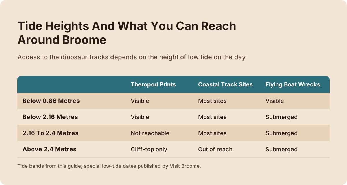
The thresholds stack up into a simple decision table. Read your tide height against the rows below and the point tells you what is on offer that day.
| Tide height | What you can reach around Broome |
|---|---|
| Below 0.86 metres | Gantheaume Point footprints, most other track locations, and the Roebuck Bay flying boat wrecks |
| Below 2.16 metres | Gantheaume Point theropod footprints and most other track locations; wrecks stay submerged |
| 2.16 to 2.4 metres | Most coastal track locations but not the Gantheaume Point theropod prints |
| Above 2.4 metres | Cliff-top viewing only; the reef platform and all track sites are effectively out of reach |
One planning wrinkle deserves attention: no tour in the roster runs to a tide schedule, and no booking page states that any trip visits the footprints. The tide decides your self-guided walk, and a separate tour decision sits alongside it, not instead of it. That split confuses a lot of first-time visitors, who assume a "dinosaur" cruise must stop at the prints. It does not, and no claim on any operator's listing here says it does.
If you want the footprint experience backed by a guide's knowledge of the coast's palaeontology, read the tide table first, then choose what fills the rest of your day. These three trips pair well with a low-tide morning or afternoon at the point.
The Town Tour in that group is the trip with the most reviews on this roster, 4.9 from 1,216 reviews, from US$81 per person for 2.5 hours with pickup included. It is a morning town-and-history circuit rather than a coastline trip, which makes it a natural companion to an afternoon low tide at the point.
To put the numbers to work, start with the Visit Broome PDF and a calendar. Mark every day of your stay whose predicted low sits under 2.16 metres, then mark the smaller set under 0.86 metres if the Roebuck Bay flying boat wrecks are also on your list, since that is the strictest line in the table. Days between 2.16 and 2.4 metres are still useful: you trade the Gantheaume Point theropod prints for the other coastal track locations. Above 2.4 metres, keep your expectations to the cliff-top view, spend the day on other sights, and save the reef walk for a date that clears the bar.
Because the water can move fast across the platform on a moving tide, check the predicted heights for the hours either side of low water, not just the day's minimum. The threshold that matters is the one in force while you are standing on the shelf, and a low that arrives in the morning shapes the whole day differently from one that arrives in the afternoon. Give the walk a turnaround time and be off the platform before the tide climbs back over it.
On sequencing, the walk is self-guided, so block out time at the point on your own clock and let the tours fill the gaps around it. The Town Tour runs in the morning, which is why it pairs with an afternoon low tide; if your usable tide arrives in the morning, that pairing flips and the cruises become the natural fill-ins. Whichever way the day lands, the sequence holds: tides first, the point second, everything else after that.
How Dangerous Is The Walk To The Footprints?
The rocks below Gantheaume Point are very slippery, the path is unpatrolled with no lifeguards, and Visit Broome asks visitors to stay on designated paths at the request of Traditional Owners. The walk is short but demands closed shoes, slow steps and a willingness to turn back. People do slip here regularly, and the surface is at its worst on a rising tide when a film of water covers the shelf.
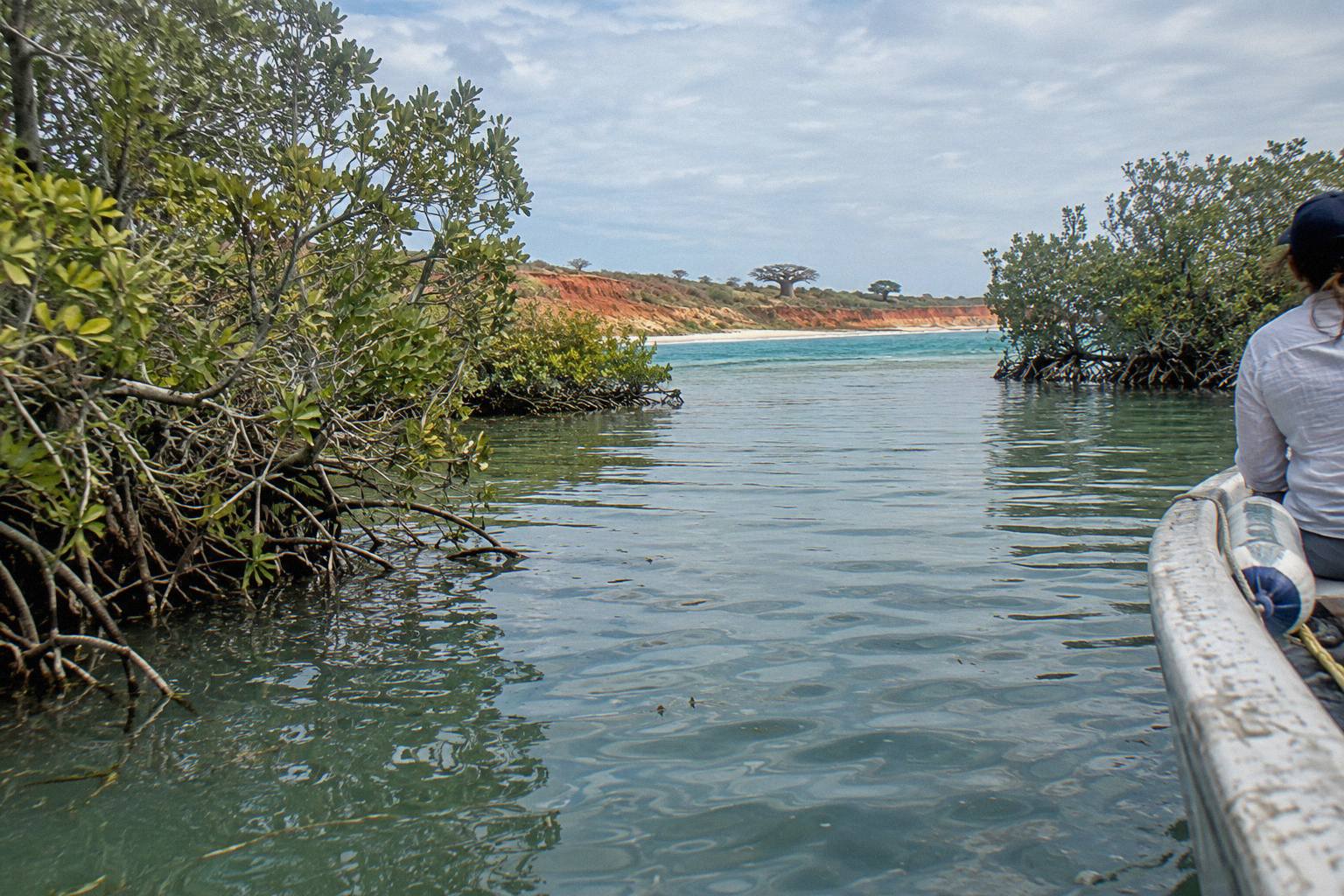
The reef platform is wave-cut rock, glazed in places by algae and permanently wet at the edges. Thongs are the wrong footwear. The surface tilts, the pools hide depth, and the prints themselves sit on surfaces angled toward the water. Visit Broome's own guidance on the site is blunt: the rocks are very slippery, stay on designated paths, and there are no lifeguards. Treat the walk the way you would treat any unpatrolled coastline, because that is exactly what it is.
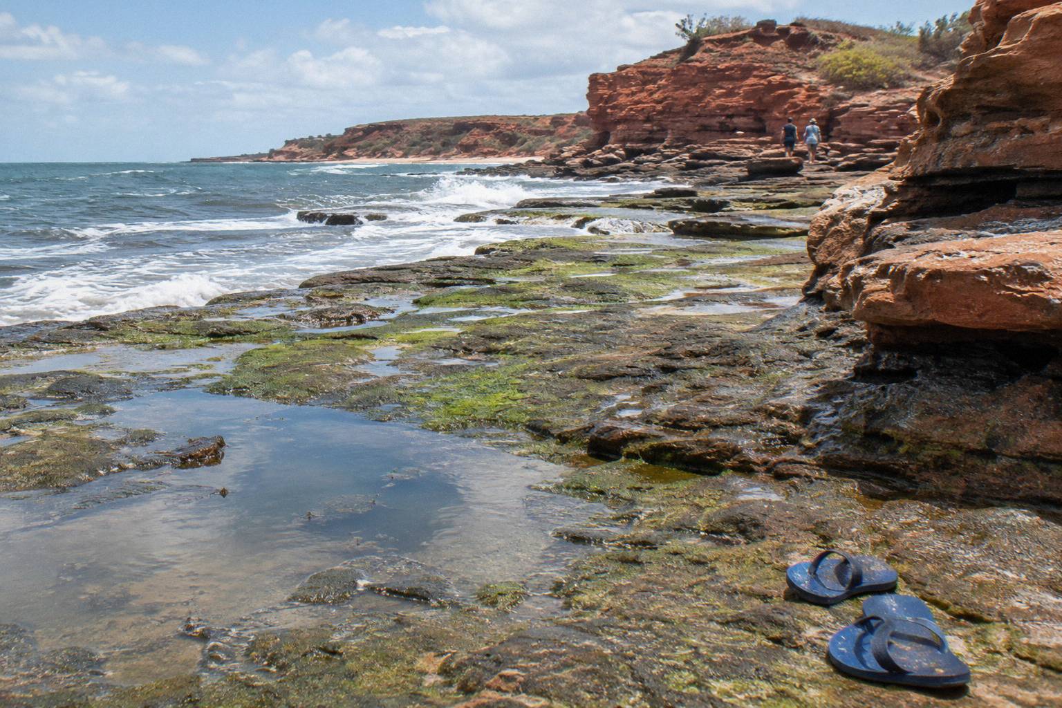
Timing matters as much as footwear. Walk out on a falling tide, not a rising one, so the water keeps retreating from your route rather than chasing you back. The special-dates PDF from Visit Broome's tides page is the practical source for picking those windows, and the same page explains why this coast behaves the way it does. Allow more time than the distance suggests, and never plan the walk for the last usable hour of a tide, because a 10 metre range means the sea can reclaim the shelf quickly.
A sensible safety kit fits in a daypack: water, a hat, shoes with grip, and a phone you are not relying on for navigation over wet rock. There is no shade on the platform and no shop at the point. If you are travelling with children or anyone unsteady on their feet, the cliff-top viewing areas above the platform give you the landscape and the light without the gamble.
What Is The Dinosaur Adventure Cruise From Broome?
Broome Adventure Cruises operates this trip and its sister, the Scenic And Prehistoric Cruise, on Roebuck Bay. The Dinosaur Adventure Cruise is the longer of the two at 6 hours with transfers included, from US$172 per person, holding a 4.9 rating from 198 reviews. Its sister runs 5 hours, also with transfers, from US$135 per person and carries 4.9 from 215 reviews. Both names reach for the same deep-time story that draws people to the footprints, and both are water experiences rather than rock walks. The rest of the planning pages sit on Broome Town Tours.
| Trip | Operator | Duration | From price (US$) | Rating and reviews |
|---|---|---|---|---|
| Dinosaur Adventure Cruise | Broome Adventure Cruises | 6 hours | 172 | 4.9 from 198 reviews |
| Scenic And Prehistoric Cruise | Broome Adventure Cruises | 5 hours | 135 | 4.9 from 215 reviews |
| Broome Town Tour, Panoramic And Discovery Morning | Broome and Around Bus Charters and Tours | 2.5 hours | 81 | 4.9 from 1,216 reviews |
The honest framing is this: the cruise and the footprints are two halves of the same story told from two vantage points. The prints are the evidence on the shore, 120 million years old and tide-locked. The cruise is the bay itself, the biggest tides in the southern hemisphere doing their twice-daily work across a landscape those dinosaurs would recognise in outline. Doing both, on different tides or different days, is the richest version of a Broome dinosaur-themed stay, and neither replaces the other.
For help deciding whether a guided walk or a self-guided one suits you, our piece on tour or self-guided footprint visits works through the trade-offs, and the same logic applies to pairing a cruise with your own low-tide walk.
When Is The Best Time To Visit Gantheaume Point?
Broome's dry season usually runs May to October and is when most visitors time their trips, with high season from late April to the end of September. But for the footprints the deciding factor is the tide, not the month: a July afternoon at 3.5 metres shows you nothing, while a November morning at 1.8 metres shows you everything. Match your dates to the low-tide list first, then the season.
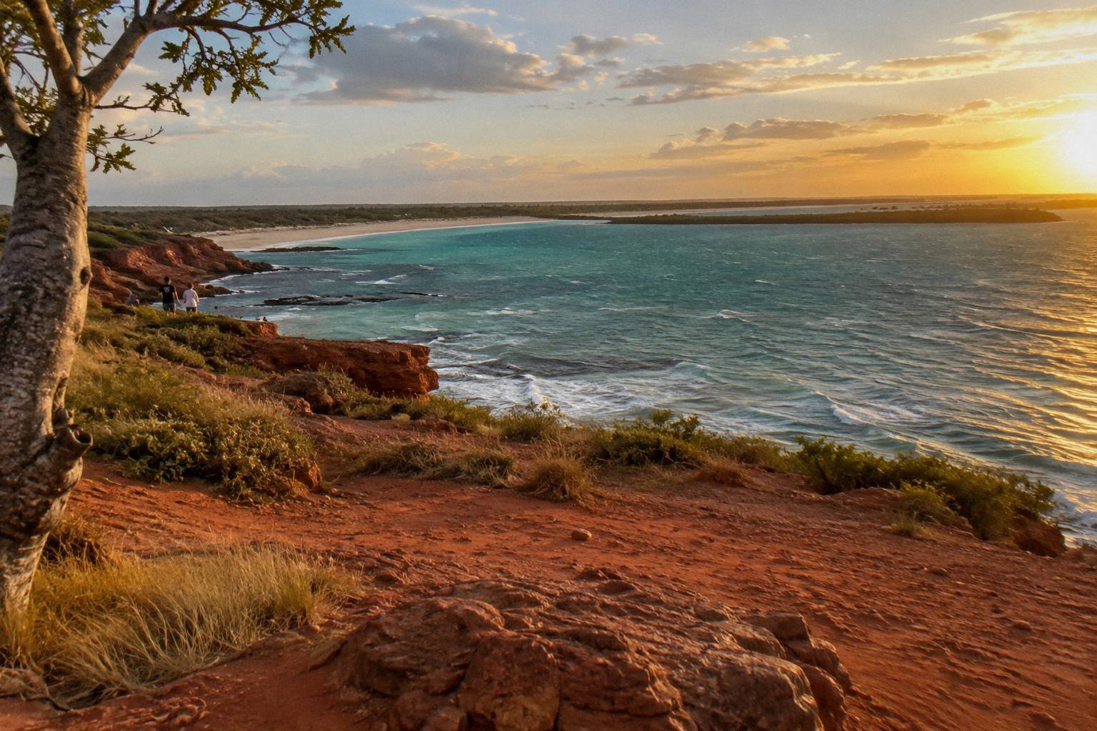
Rainfall tells the story of the seasons here. Bureau of Meteorology averages for Broome Airport show January at 200.4 mm and February at 180.3 mm, against 1.4 mm in October and 1.5 mm in September, with an annual total of 632.7 mm. The dry months are dry almost to the millimetre, which is why the dry season carries the crowds and the higher accommodation prices, and why a shoulder month with a good low tide can beat a peak month without one.
| Month | Mean rainfall at Broome Airport (mm) | Season |
|---|---|---|
| January | 200.4 | Wet season |
| February | 180.3 | Wet season |
| March | 99.3 | Wet season |
| July | 6.2 | Dry season |
| August | 2.0 | Dry season |
| September | 1.5 | Dry season |
| October | 1.4 | Dry season |
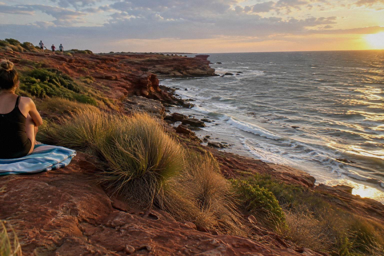
Two seasonal details shape a point visit more than people expect. Turtle nesting season closes the Cable Beach north ramp to vehicles from 8pm to 6am between 1 October and 30 November, which shifts evening traffic patterns near the point. And the sunsets here face open Indian Ocean, which makes the cliff tops a golden-hour magnet on any evening, tide or no tide. Our broader guide to timing a Broome visit covers the season trade-offs in detail.
The other half of the timing question is the tide cycle itself. Broome gets roughly two low tides a day, and their heights differ, so a single day often contains one usable window and one unusable one. Check the specific heights, not just the words "low tide" on a weather app, because a 2.6 metre low satisfies the app and fails the footprints.
What Else Can You See At Low Tide Around Broome?
Below 0.86 metres, the flying boat wrecks in Roebuck Bay emerge from the water, protected under the Heritage of WA Act 1990, with visitors advised to allow an hour out and an hour back. These wartime wrecks sit on the opposite side of the peninsula from Gantheaume Point, so they make a separate expedition rather than an add-on, and they need an even lower tide than the footprints.
The 0.86 metre threshold is a demanding one. Wreck-viewing days are rarer than footprint days, and the walk out across the bay floor is longer, which is why the official advice budgets two hours for the round trip. The wrecks are protected heritage, which means look, photograph and leave everything in place. Combined with the theropod tracks, they give Broome one of the stranger sightseeing pairs in Australia: dinosaurs and flying boats, both delivered by the same enormous tide.
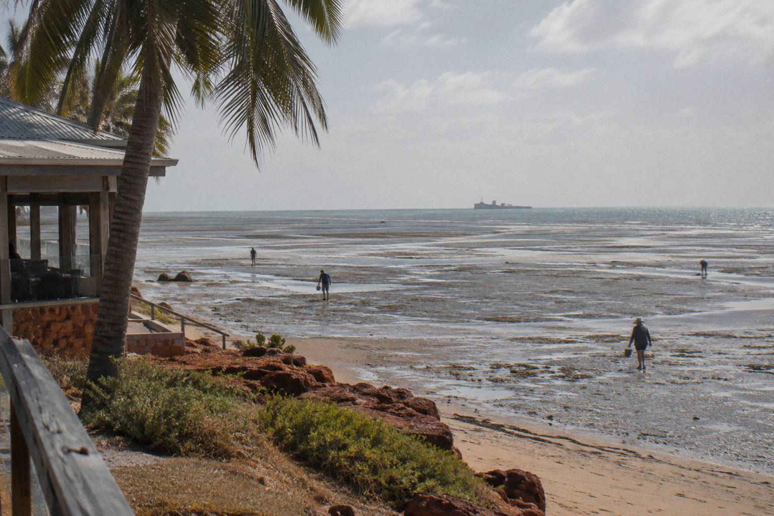
This is also where the tide's scale becomes visible rather than statistical. A range of up to around 10 metres means Roebuck Bay at a big low is a plain of grey mud and sand that looks like it will never be sea again, and hours later the water is back to the mangroves. Tours that work this bay, from the Scenic And Prehistoric Cruise to the Snubfin Dolphin Eco Cruise, from US$127 per person with a 4.9 rating from 601 reviews and pickup included, are all riding the same engine. Our overview of how Broome's tides affect tours pulls the whole picture together.
One caution from the official sources: the Peninsula's warning signs apply here too. Strong tides, stingers in the wet season and crocodiles in some waters mean the flats are for looking, not for wading beyond what a careful footprint walk demands. The bay floor can also hold soft spots and drainage channels that are invisible until you are in them, so following the paths other walkers have worn, and turning back the way you came, is the reliable route.
How Do You Plan A Day Around A Low Tide?
Build the day backwards from the tide window. Check the heights, mark the hours when the tide sits below 2.16 metres, put the footprint walk in the middle of that window, and fill the shoulders with a tour or town time. A town tour of 2.5 hours fits neatly before an afternoon low, while a 6 hour cruise wants a whole day and its own tide-independent schedule.
The arithmetic is simple once you have the numbers. The Broome Town Tour, Panoramic And Discovery Morning runs 2.5 hours from US$81 per person with pickup included, rated 4.9 from 1,216 reviews, and its morning shape leaves an afternoon low tide free. The Dinosaur Adventure Cruise at 6 hours, and the Scenic And Prehistoric Cruise at 5 hours, swallow most of a day, so pair those with a footprint walk on a different day or a different tide. Every trip on this roster except the Horizontal Falls half day carries free cancellation up to 24 hours on the booking page, which gives you room to adjust if a tide forecast or a weather front shifts your plan.
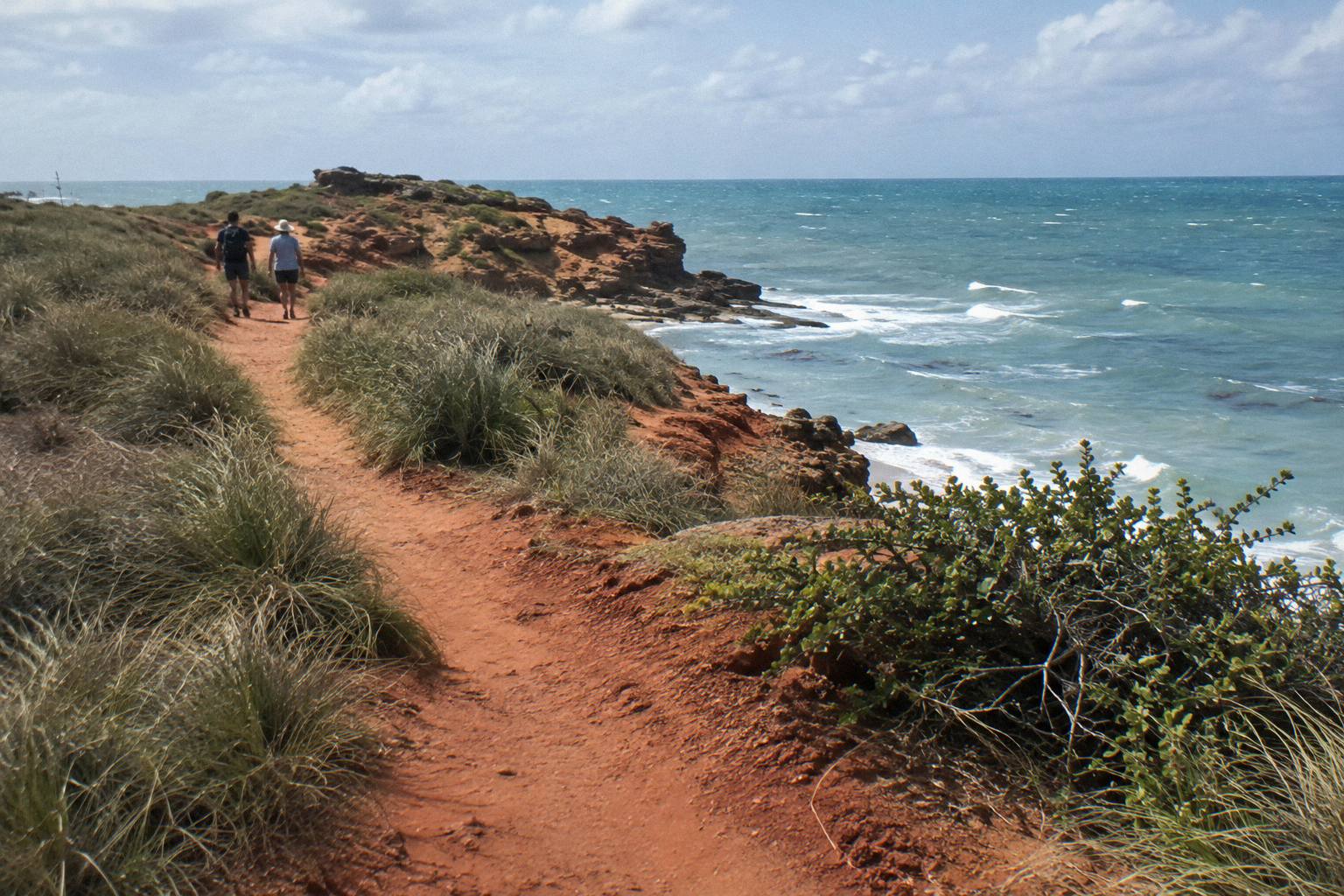
A worked example: a dry-season day with a 1.6 metre low at 3.20pm. Town tour in the morning, lunch in Chinatown, drive out to the point around 1.30pm while the tide still falls, walk out to the prints at 2.45pm, walk back by 4pm, then stay on the cliff tops for the sunset. That single day covers history, deep time and the Indian Ocean horizon without rushing any of them, and it costs you one tour booking plus a car or shuttle fare.
Leave slack in the plan. Tides shift by roughly an hour a day across a fortnight, so yesterday's perfect window is tomorrow's marginal one. And if the tide table betrays your dates entirely, the cliff-top scenery, the surf and the sunset cost nothing and need no tide at all.
Whatever your tide window turns out to be, the pairing that works for most travellers is a guided look at the coast plus their own careful walk over the rocks. These are the trips that fit that plan best.
Common Questions About Gantheaume Point Dinosaur Footprint Tours
Can You See The Dinosaur Footprints At Gantheaume Point?
Yes, when the tide is below 2.16 metres. Most other track locations along the coast need a tide under 2.4 metres. Check the heights for your dates against the low-tide list Visit Broome publishes, because the water covers and uncovers the prints twice every day.
Do Any Tours Visit The Dinosaur Footprints?
No tour listing states that the tour visits the footprints. The Dinosaur Adventure Cruise is named for dinosaurs but no claim is made that it stops at the prints. The footprint visit is a self-guided, tide-dependent walk; tours such as the Dinosaur Adventure Cruise or the Scenic And Prehistoric Cruise sit alongside it rather than replacing it.
How Old Are The Gantheaume Point Dinosaur Footprints?
The tracks are early Cretaceous, about 120 million years old, spread along about 80 km of Broome coastline. They were included in the West Kimberley National Heritage List in August 2011.
Is The Walk To The Footprints Dangerous?
It demands care. The rocks are very slippery, there are no lifeguards, and Traditional Owners ask that visitors stay on designated paths. Wear closed shoes with grip, walk out on a falling tide, and allow more time than the distance suggests.
What Is The Best Time Of Day To Visit Gantheaume Point?
Whatever window puts the tide below 2.16 metres, which shifts by roughly an hour a day across the fortnightly tide cycle. For scenery alone, the cliff tops at sunset face open ocean and need no tide at all.
What Else Can You See At Low Tide Near Broome?
Below 0.86 metres the flying boat wrecks in Roebuck Bay emerge, protected under the Heritage of WA Act 1990, with an hour out and an hour back advised. They need a lower tide than the footprints and sit across the peninsula, so plan them as a separate trip.